What Super El Niño REALLY means for your heliski trip
Our Operations Manager breaks down what’s actually happening.
If you’ve been reading the winter climate forecasts, you might be wondering how the predicted "Super El Niño" will impact snow conditions this season. It's a fair question - warmer coastal trends can make anyone hesitant to lock in a trip.
To clear up what this actually means for Tyax, here is insight from our Heliskiing Operations Manager, Alex Wigley:
"There have been many headlines lately about the Super El Niño. So, what is an El Niño, what are its effects, and how should you plan to ensure a great powder getaway?
El Niños are, in short, a recurring climate pattern where trade winds in the Pacific Ocean weaken, allowing warm surface waters to flow east toward the Americas. Generally, this shift redirects the polar jet stream further south than usual and can change weather patterns significantly. With a Super El Niño, these effects are magnified.
Coastal areas such as Squamish, Whistler, and Vancouver will experience stronger effects from a Super El Niño. You can expect lower and mid-mountain elevations to have warmer-than-average temperatures, bringing an increased risk of rain in those coastal zones. Areas inland from the coast, such as Tyax, will most likely not experience as strong a weather effect due to our inland location and higher elevation.
Let's get a bit more technical to compare the differences. Storms moving onshore to Whistler's coastal location are forced against the mountains, causing orographic lift. This lift causes the warm air to cool and precipitate moisture. As the system moves over the mountains, Tyax's continental inland location removes the ocean's insulating warmth during storms, resulting in colder, drier snow. Tyax has an average winter alpine temperature range of -5°C to -15°C (frequently dropping to -20°C) compared to Whistler's average of -2°C to -10°C. So, even with large temperature swings during the Super El Niño, Tyax will still receive precipitation as snow rather than rain.
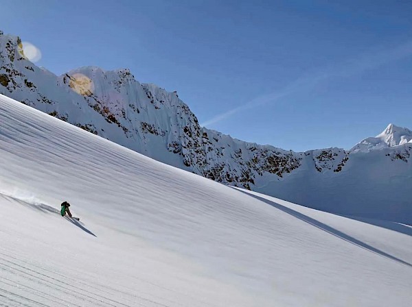
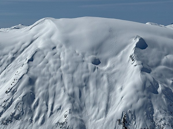
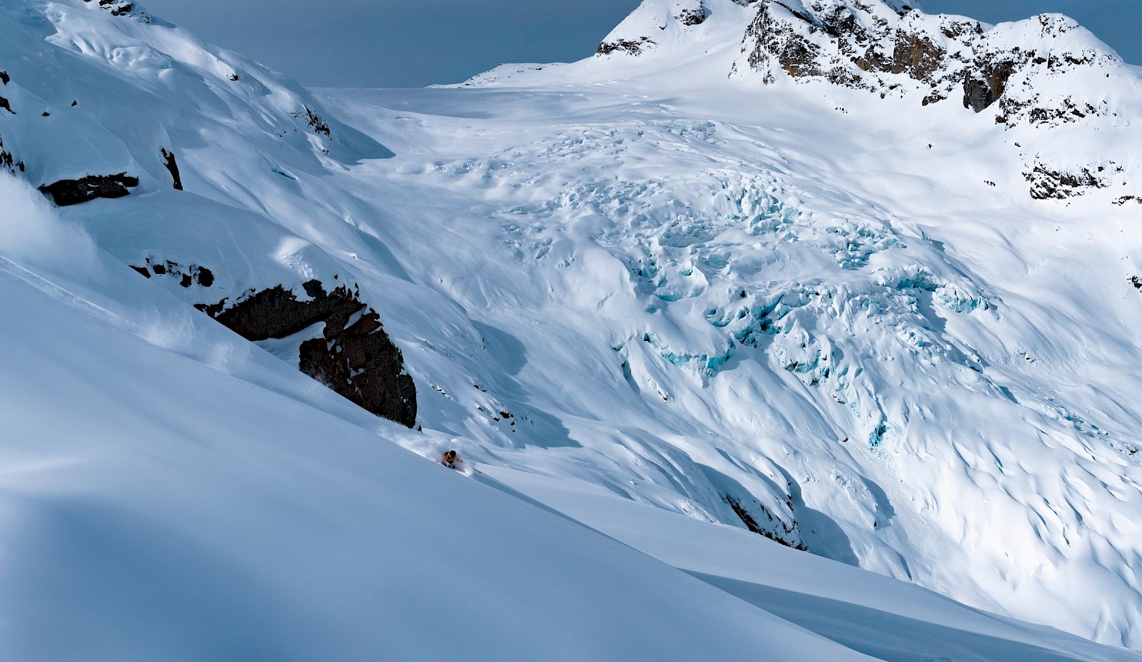
In addition to being in a cooler, higher-elevation region, Tyax features 830,000 acres of skiable terrain (not to brag), divided into numerous distinct zones. This allows our guides to focus on the areas benefiting most from microclimate weather factors. And because we run a single-group-per-helicopter program, our groups can pivot seamlessly between zones without waiting around for other groups.
Zones like the Bridge, Gun, and Taseko may have some of the best powder conditions in the province if warm, wet storms come in off the coast. And if we do have a record coastal storm, we'll just head further west with our snorkels to ski that epic pow!"
Alex's observations align with what the Farmers' Almanac is forecasting for British Columbia:
"Coastal British Columbia is in for a generally wet and changeable winter. Vancouver, Victoria, and the lower mainland should prepare for repeated periods of rain, gusty winds, and occasional heavier Pacific storms, with mild Pacific air allowing periodic thaws in between. Don’t assume mild means quiet: strong systems can bring heavy precipitation and wind, and brief intrusions of colder air can push snow or mixed precipitation into lower elevations. Travel inland and upward, and winter looks very different. Repeated Pacific storms should bring significant mountain snowfall, good news for skiers and snowboarders at Whistler, Sun Peaks, and Big White..."
While no one can predict the weather with total certainty, all the data points to a phenomenal winter at Tyax. We expect many, many powder days - and we’d love to share them with you.